Explore penguin colonies in 3-D
Drones are making penguin census work far more accessible. Oceanites started using UAVs in 2022 for quantifying penguin populations and has been building a library of publicly accessible 3D imagery. These images can be used by the general public, expedition guides, or scientists for getting a better understanding of changes on the peninsula.
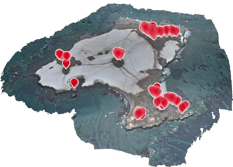
Hosting of 3D models is kindly provided by NIRA. Click on the link in the URL column of the data table below to access the imagery. Click on the site name to access population data. Use the Search bar to search for a specific colony.
| Site | Date | URL |
| Bongrain Point (Pourquoi Pas Island) (BONG) | Jan. 8, 2024 | Bongrain Point (Pourquoi Pas Island) (BONG) model |
| Elephant Point (ELPT) | Dec. 4, 2023 | Elephant Point (ELPT) model |
| Neko Harbor (Andvord Bay) (NEKO) | Dec. 24, 2023 | Neko Harbor (Andvord Bay) (NEKO) model |
| Gourdin Island (GOUR) | Jan. 16, 2024 | Gourdin Island (GOUR) model |
| Ginger Island (GING) | Jan. 9, 2024 | Ginger Island (GING) model |
| Danco Island (DANC) | Feb. 3, 2024 | Danco Island (DANC) model |
| Devil Island (DEVI) | Dec. 23, 2023 | Devil Island (DEVI) model |
| Dorian Bay/Damoy Point (DAMO) | Jan. 22, 2024 | Dorian Bay/Damoy Point (DAMO) model |
| Neko Harbor (Andvord Bay) (NEKO) | Jan. 4, 2024 | Neko Harbor (Andvord Bay) (NEKO) model |
| Dec. 4, 2023 | model | |
| Mikkelsen Harbor (Trinity Island) (MIKK) | Jan. 6, 2024 | Mikkelsen Harbor (Trinity Island) (MIKK) model |
| Half Moon Island (HALF) | Jan. 7, 2024 | Half Moon Island (HALF) model |